
On April 7, 1897, the president of Mexico, Mr Porfirio Díaz signed a treaty in which the limits between British Honduras (now Belize) and the United Mexican States were established, whose dividing line would cross through the center of the canal Boca Bacalar Chico, a strait that separates the Xcalak Peninsula from the Ambergris Caye, in Quintana Roo.
Both actions had the objective of controlling the English arms traffic towards the Quintana Roo Mayan zone; on the border line this control was carried out in the newly founded Payo Obispo, today the state capital: Chetumal; and on the coast of Xcalak.
Both actions had the objective of controlling the English arms traffic towards the Quintana Roo Mayan zone; on the border line this control was carried out in the newly founded Payo Obispo, today the state capital: Chetumal; and on the coast of Xcalak.
Faced with the war context, Brigadier Ortiz Monasterios, consul of Mexico, commissioned Eng. Rebolledo to find a place to build a port.
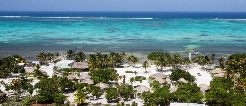
The chosen site was an area known as Xcalak, a Mayan word that means two or double, where there were two ravines in the barrier reef that would allow navigation.

® 2021 MAHAnow.com
All rights reserved
All rights reserved
All the information and images published in this section of the MAHAnow.com domain have been A from the Internet, Social Networks or through Google Maps. All public places and without restrictions. If you wish NOT to participate in the Project, please send a WhatsApp message to the number (818) 458-5996 requesting your cancellation and we will do so in less than 72 hours.


www.MAHAnow.com

LANGUAGE


CLiCK to
back to
back to


Crafts


Bicycle


Beach Club


Diving


Fishing


Four wheels
Hammock


Kayak


Massage


Paddle Board
Snorkel


HOME
MAHAHUAL
#PerfectDay

Hire Directly Without Intermediarires


Tourist Directory
Archaeological Sites